
search
Gatwick airport map
Gatwick map. Gatwick airport map (England) to print. Gatwick airport map (England) to download. Gatwick Airport is located in the West Sussex department and is London's second largest international airport with more than 35 million passengers a year. It has two terminals as shown in the map of Gatwick, which gives it a more pleasant dimension and travelers can easily get to London thanks to the various transport options available (see maps of Gatwick and transport).
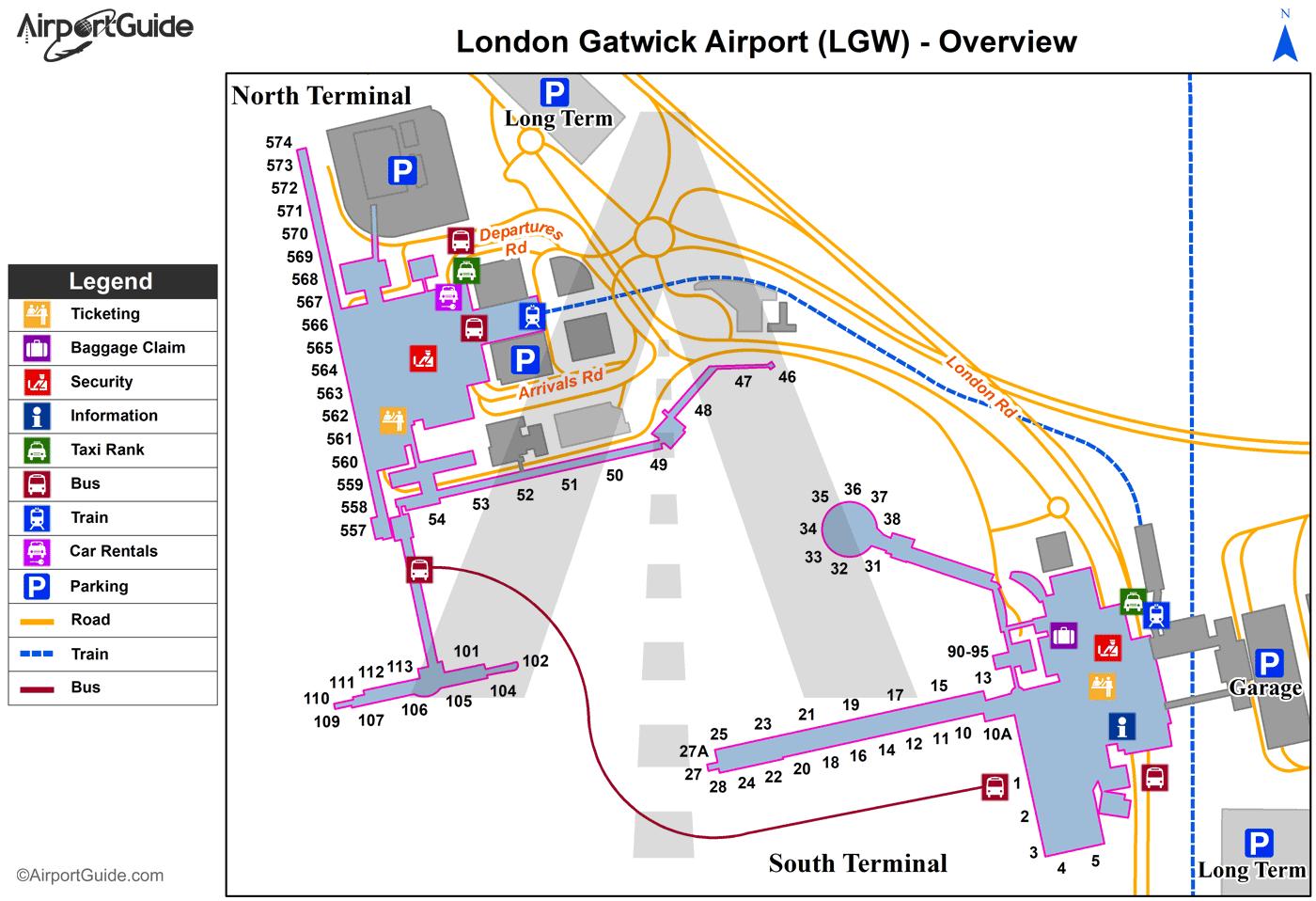
There are various railway companies that connect Gatwick Airport to central London. Among them, we advise you to remember these two main: Southern Railway and First Capital Connect. The Gatwick Express is a 30-minute train ride to Victoria Station in the city center. The map of Gatwick Airport tells you where to take the train.
London-Gatwick Airport (LGW) is the world's most efficient single-runway airport serving 200 destinations in 90 countries. London Gatwick Airport is located 28 miles south of London. The two terminals at London Gatwick Airport, located to the north and south, each have a wide range of shops, as shown on the map of Gatwick.
Buses run between Gatwick Airport and London city center. The trip takes about 1 hour depending on the traffic. Remember to arrive at the terminal well before the departure of your flight for check-in and security check. Use the map of Gatwick Airport so you do not get lost. Several companies offer their service including Terravision, National Express, Easybus.